Create Your First Project
Start adding your projects to your portfolio. Click on "Manage Projects" to get started
Kakopetria - Olympus Summit 16KM Linear
Project type
Hiking
Date
11th November 2024
Location
Kakopetria and Olympus
Start Location
Agios Nikolaos tis Stegis (Linear) Nature Trail
There is room for around 4 cars at the beginning
https://maps.app.goo.gl/oGE9MmR63iTTsRFT9
End Point
As this is a linear route we left a car here at the top/end of the route.
https://maps.app.goo.gl/37GZe4w8rbTzMUHk7
Route Map
This was a tough climb, 1150m over 16KM. The first 8KM or so was up hill. The route started on a wide steep track going up to a bench and turning off to the left. (sign posted Troodos)
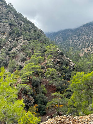
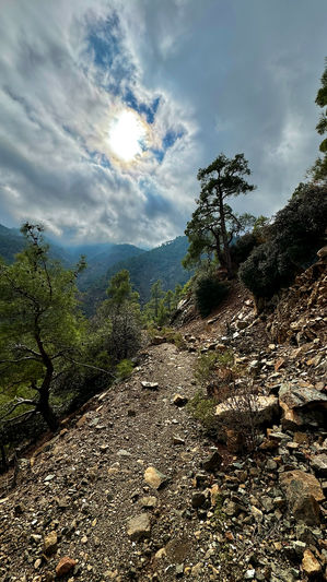
It then followed the contours of the mountain side before bringing you to the bottom of a rugged river valley. The path was rocky uneven, narrow and crossed the river several times before we reached the wide track at the top. The route was marked with red, green markers and piles of stones.
The route wasn't always obvious!
We turned left at the top and continued up hill on a wide track we then turned right on to the road till we got to the Cypriot army camp where we walked in front of and around the camp.
There was a tricky right fork around the 10.7KM point. The map doesn't show the intersection and on the ground it looked like you went straight on, but the route is to the right and dropped in elevation. I worked it out from the direction and contours.
Eventually the path took us up to the road where we turned left and walked down to the bottom of the North Face Ski Slope.
Then the route took us up around to the right of the T-Bar lift building on to the Artemis Trail, which had very rocky sections. Following the trail gradually round the mountain and increasing in elevation we turned off for the final ascent at around 13.7KM. The trail then wound itself up through woodland. Again the trail towards the top was a little tricky, it was far from obvious, and veered off to the left up hill.


